Photo Record
Images
Additional Images [61]


Metadata
Title |
ENVIRONMENTAL CONTROL, Miscellaneous |
Date |
1970-1971 |
Description |
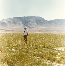
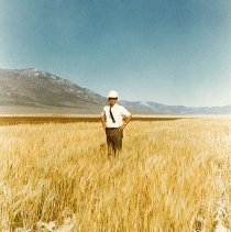
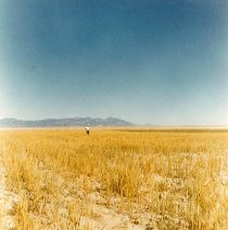
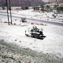
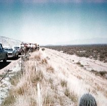
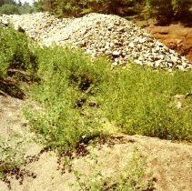
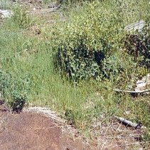
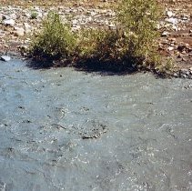
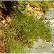
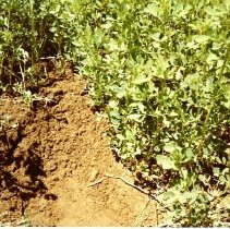
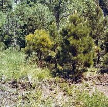
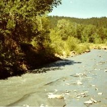
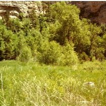
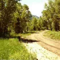
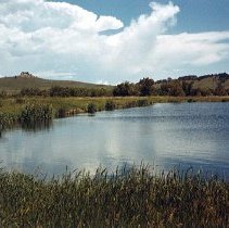
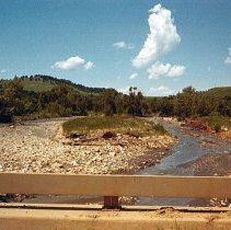
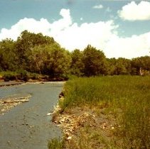
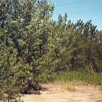
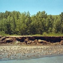
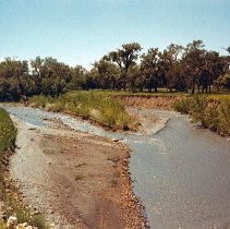
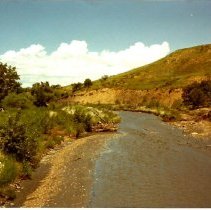
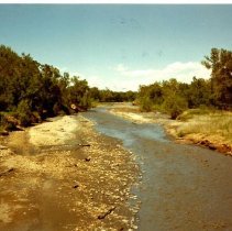
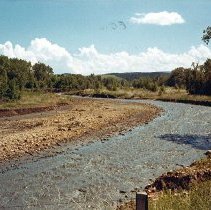
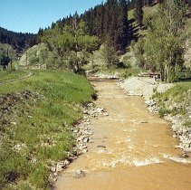
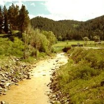
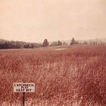
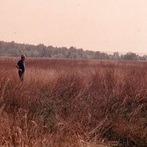
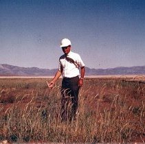
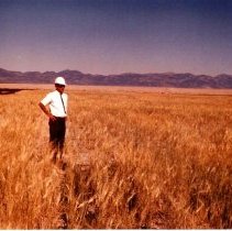
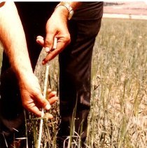
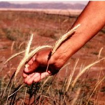
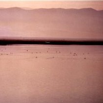
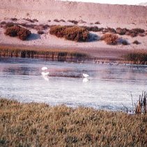
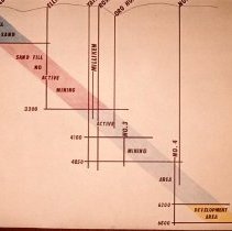
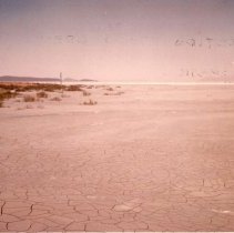
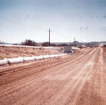
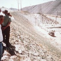
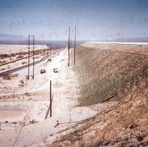
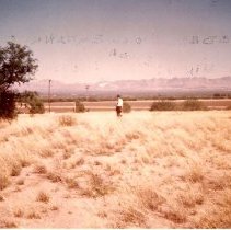
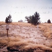
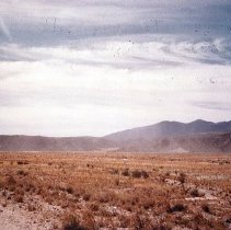
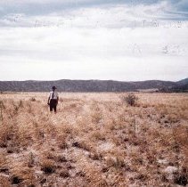
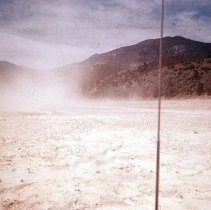
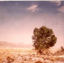
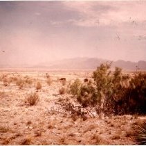
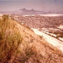
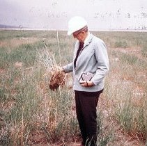
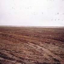
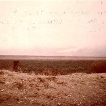
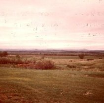
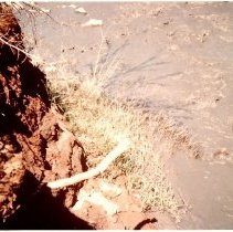
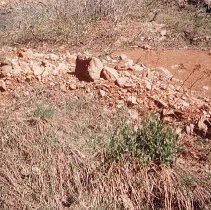
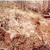
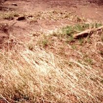
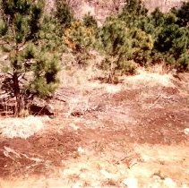
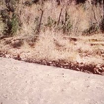
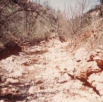
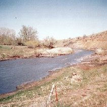
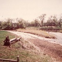
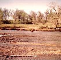
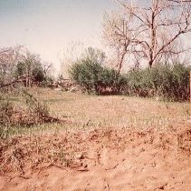
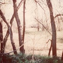
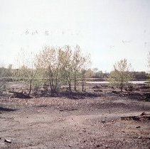
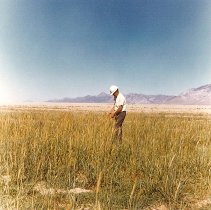
Series of photographs of environmental control in various locations. 45-1Sixty acre, test plot, tailing plot, Kennecott Copper Co., McGill, Nevada, 1970 45-2Sixty acres, test plot area, tailings pond, Kennecott Copper Co., McGill, Nevada, 1970 45-3Test plot area, tailings pond, Kennecott Copper Co., McGill, Nevada, 1970 45-4Pina Mining Co., Tucson Arizona, equipment used in spraying seed, fertilizer and mulch simultaneously on embankment, 1971 45-5Pima Mining, Tucson, Arizona, showing cover on embankment (tailings), 1971 45-6Clover growing out of coarse sand pile, Whitewood Creek 2 miles below Deadwood, 1971 45-7Whitewood Creek flood plain growth in sand, 1-1/2 to 2 miles below Deadwood, 1971 45-8Whitewood Creek, 1-1/2 to 2 miles below Deadwood, showing growth at water's edge, 1971 45-9Whitewood Creek, 2 miles below Deadwood, showing growth at water's edge, 1971 45-9AWhitewood Creek, 2 miles below Deadwood, showing heavy growth in sand, 1971 45-10Whitewood Creek, flood plain, south end rail road tunnel, 2 miles below Deadwood, pine trees, 1971 45-11Whitewood Creek, 2 miles below Deadwood, heavy tree growth at water's edge, left center, 1971 45-12Whitewood Creek flood plain, south end rail road tunnel, 2 miles below Deadwood, showing lush growth, 1971 45-13Whitewood Creek flood plain, south end RR tunnel, 2 miles below Deadwood, 1971 45-14Sewage lagoon, Whitewood, SD, 1971 45-15Whitewood Creek, looking down stream from first bridge below Whitewood, 1971 45-16Whitewood Creek, Wendy Richter place, heavy growth in flood plain, 1971 45-17Whitewood Creek flood plain, Wendy Richer Place, Heavy cottonwood tree growth, seedlings planted 1966, 5 years old 20-30 feet high, 1971 45-18Whitewood Creek, Wendy Richer place, heavy tree growth in sand, 1971 45-19Whitewood Creek, showing growth at water's edge and sand bar, upstream from last bridge in Lawrence County, Howard Mayer place on right, 1971 45-20Whitewood Creek, Howard Meyer place left, looking down stream from last bridge in Lawrence County, showing growth at water's edge, 1971 45-21Whitewood Creek, looking down stream from Gralapp bridge, 1971 45-22Whitewood Creek, looking down stream from Gralapp bridge, 1971 45-23Whitewood Creek above Pluma, looking downstream from bridge to tourist motel camp, 1971 45-24Whitewood Creek, above Pluma, open air theatre in background, 1971 45-25St. Joe Lead, Flatriver, MO, 1971 45-26St. Joe Lead, Flatriver, MO, Fescue, Timothy, Rye, Alfalfa, Clover, Red Top, etc., 1971 45-27McGill, Nevada, Ken Hall, Kennecott Copper, 1971 45-28McGill, Nevada, Ken Hall, 1971 45-29McGill, Nevada, 1971 45-30McGill, Nevada, 1971 45-31Ducks, Effluent Pond, Kennecott Copper Co., McGill, Nevada 45-32Ducks, Tailings Dike and Effluent Pond, Kennecott Copper Co., McGill, Nevada 45-33Pike from Effluent Pond, McGill Nevada, planted 4 years ago and 30", legal size 45-34Photograph of a drawing showing section through Open Cut schematic 45-35Tails pond, Pima Mining, Tucson, Arizona 45-36Tails line to pond, Pima Mining Co., Tucson Arizona, conc. pipe, 1971 45-37Spraying pond embankment with mulch and seed and fertilizer, Pima Mining Co., Tucson, AZ., 1971 45-38Seeding pond embankment, Pima Mining Co., Tucson, AZ., 1971 45-39Grassed tailings pond by Anaconda, near Pima Tucson, Ariz., 1971 45-40Grassed tailings pond by Anaconda, near Pima Tucson, Ariz., 1971 45-41Revegetated tails pond, Globe, Ariz., 1971 45-42Revegetated tails pond, Globe, Ariz., 1971 45-43Portion of pond that is not revegetated, Globe, Ariz., 1971 45-44Revegetated tails pond, Globe, Ariz., 1971 45-45Revegetated tails pond, Globe, Ariz., 1971 45-46Revegetated pond embankment, Globe, Ariz., 1971 45-47Test plot, tails pond, Kennecott Copper, McGill, Nev., Harold Sliper, 1971 45-48New seeding, test plot tails pond, Kennecott Copper Co., McGill, Nevada, 1971 45-49Alfalfa patch, 25 years growing, tails pond, Kennecott Copper Co., McGill, Nevada, 1971 45-50Revegetated tails pond, Kennecott Copper Co., McGill, Nevada, 1971 45-51Whitewood Creek, showing grass at water's edge, 1971 45-52Whitewood Creek, showing grass growth in sand, 2 miles below Deadwood, 1971 45-53Whitewood Creek showing grass growth in sand, 1971 45-54Whitewood Creek showing grass growth in sand, 1971 45-55Whitewood Creek, south end RR tunnel, showing variety of growth in flood plain of creek, all sand, 1971 45-56Whitewood Creek, south end RR tunnel, showing at water's edge, 1971 45-57Polo Creek, typical mountain stream, 1971 45-58Whitewood Creek downstream from last bridge in Lawrence County, 1971 45-59Whitewood Creek upstream from last bridge in Lawrence County, 1971 45-60Whitewood Creek, Berger place, Meade County, 1971 45-61Growth in sand flood plain, Whitewood Creek near Warren Martin place, 1971 45-62Growth in Whitewood Creek flood plain, near Belle Fourche River, 1971 45-63Confluence Whitewood Creek with Belle Fourche River. Note Sturdy tree growth in sand bar, grass scoured off, 1971 45-64Test plot area, tailings pond, McGill Nevada, Kennecott Copper Co., irrigated and fertilized, no top soil, 1970 45-68Contact sheet of someone performing laboratory experiments 45-69Contact sheet of someone performing laboratory experiments |
Collection |
Homestake Mining Company Collection |
Object Name |
Series, Archival |
Catalog Number |
HMCC 045 |
Print size |
Please See Metadata for Print Sizes |
People |
Richter, Wendy Meyer, Howard Hall, Ken |
Search Terms |
1970s Arizona Automobiles Belle Fourche River Birds Bridges Deadwood Ducks Fish Homestake Mining Company Lawrence County Meade County Men Missouri Nevada Plants Polo Creek and Gulch Reclamation Rivers Trees Water Whitewood Creek |