Search Term Record
Metadata
Name |
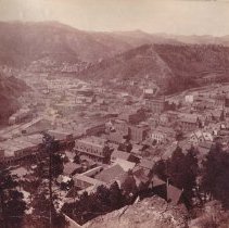
Williams Street |
Related Records
-
-
-
-
-
-
-
-
-
-
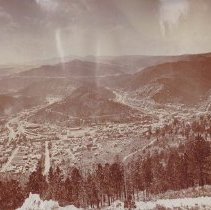
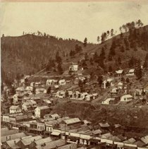
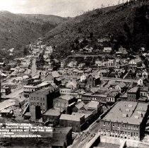
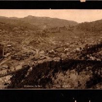
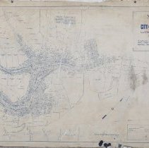
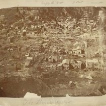
Map of the City of Deadwood, Lawrence County, S. Dak - 1891
Map of the City of Deadwood, Lawrence County, S. Dak. showing boundary of City limits and Wards; also lots, blocks, streets, mineral claims, prominent buildings, and street and railroad lines. Drawn by P.L. Rogers, City Engineer of the City of Deadwood, on January 5, 1891. The map was made the official map of the City of Deadwood on January 5, 1891. The legend depicts lines for Patented Mineral Claims, Rail Roads, and Street Railroads. ...
Record Type: Archive
-
-
-
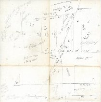
Survey Notes
Series of survey notes found on A. B. Mitchell's clipboard (2021.011.028). - copies of drawings with "30 June 1890, 1 July 1890" written on them - light pencil drawing with "Inferno" written on the top - copy of a table titled "acreage table in sq. ft." - copy of a table titled "Weir table giving cubic feet discharged per min for each inch in length of Weir for depth from 1/8 in. to 25 in." - Survey notes on Lead Country Club - new #9 gree...
Record Type: Archive
-
-
-