Search Term Record
Metadata
Name |
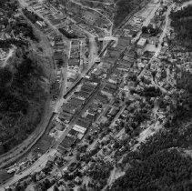
Pine Street |
Related Records
-
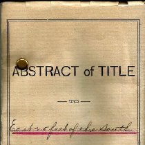
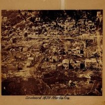
Abstract of Title East 25 feet of the South 50 feet of Lot No.6 in Block No. 1 in the City of Lead - 1879-1893
This is an Abstract of Title for the Sol No. 6 in Black No. 1 signed by William H. Fawcett. The abstract lists the owners of the property from 1879 to 1893. Some of the owners are listed in the people field and search term field.
Record Type: Archive
-
-
-
-
-
-
-
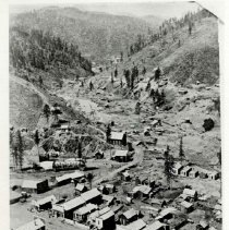
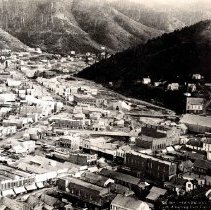
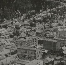
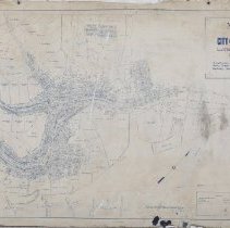
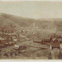
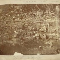
Map of the City of Deadwood, Lawrence County, S. Dak - 1891
Map of the City of Deadwood, Lawrence County, S. Dak. showing boundary of City limits and Wards; also lots, blocks, streets, mineral claims, prominent buildings, and street and railroad lines. Drawn by P.L. Rogers, City Engineer of the City of Deadwood, on January 5, 1891. The map was made the official map of the City of Deadwood on January 5, 1891. The legend depicts lines for Patented Mineral Claims, Rail Roads, and Street Railroads. ...
Record Type: Archive
-
-
-
-
-
-
-
-
-
-