Search Term Record
Metadata
Name |
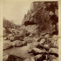
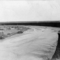
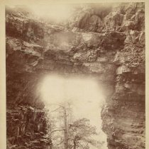
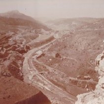
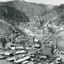
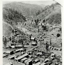
Whitewood Creek |
Related Records
-
-
-
-
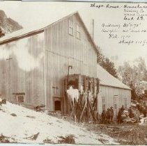
ENGINEERING/CONSTRUCTION, Debris Lands ENGINEERING/CONSTRUCTION, Columbia Dam Construction ENGINEERING/CONSTRUCTION, Columbia Dam Construction - 1908-1916
0
Record Type: Photo
-
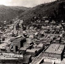
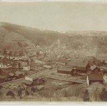
!["Engleside [sic], West Deadwood, S.D."](https://s3.amazonaws.com/pastperfectonline/images/museum_37/004/thumbs/0070018001.jpg)
-
-
-
-
-
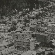
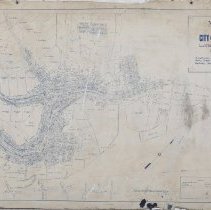
Map of the City of Deadwood, Lawrence County, S. Dak - 1891
Map of the City of Deadwood, Lawrence County, S. Dak. showing boundary of City limits and Wards; also lots, blocks, streets, mineral claims, prominent buildings, and street and railroad lines. Drawn by P.L. Rogers, City Engineer of the City of Deadwood, on January 5, 1891. The map was made the official map of the City of Deadwood on January 5, 1891. The legend depicts lines for Patented Mineral Claims, Rail Roads, and Street Railroads. ...
Record Type: Archive
-
-
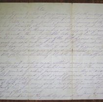
Mining Claim - June 4, 1877
A handwritten mining claim which started at the lower end of Claim #6 above discovery on Whitewood Creek in the town of Elizabethtown and ended at the upper end of the same claim. Signed by Henry Castorpand who claims that he has possessed this claim since May 22, 1876, and is writing this notice to safeguard his claim since it is now after the ratification of the second Sioux treaty concerning the Black Hills. Signed by J.A. Hand, the register...
Record Type: Archive
-
-
-
-
-
-
-
-